Chicago, Illinois · City Walks
The best
dog walksin Chicago.
Lake views, an elevated rail-trail and the city’s favorite dog beach—chosen for the dogs who walk them and the humans holding the leash.
1,344
walks mapped in Chicago
1,389
miles walked
1.0 mi
average walk
HappyPupper walkers in Chicago · all-time totals, November 2026
Map your own Chicago walks. Free on iPhone & Android.
Choose the right adventure
One lake.
Five very good walks.
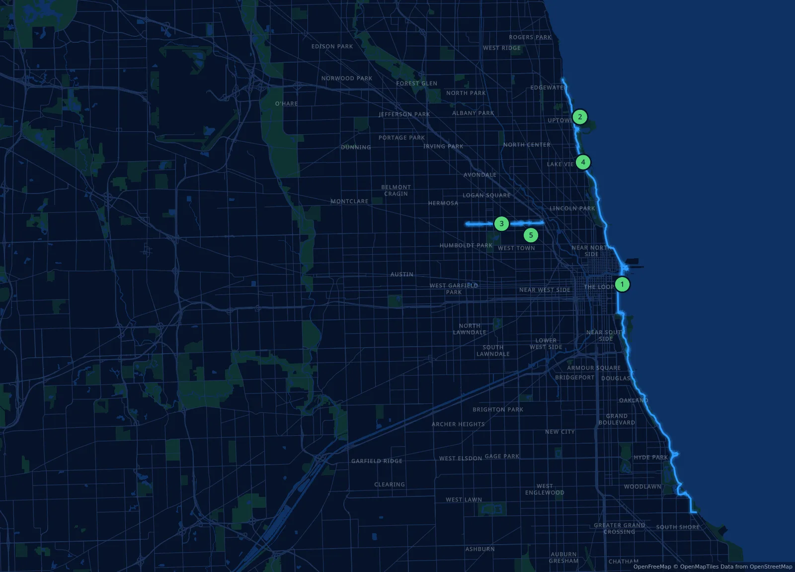
Chicago is a flat, walkable city with a lakefront that feels made for long dog walks. This guide mixes the big set pieces—the Lakefront Trail and The 606—with the Park District’s Dog Friendly Areas, where dogs can finally run.
Outside a Dog Friendly Area (DFA), dogs stay leashed. Inside one, every dog needs a current Chicago Park District DFA permit and tag: $10 per dog per calendar year, issued by participating veterinarians. Using a DFA without a permit can bring a $500 fine.
Before the leash comes off
Get your DFA tag before your first visit—the Park District lists participating vets on its Dog Friendly Areas page. Leash up walking to and from every DFA, and pick up after your dog: failing to clean up can also cost up to $500.
Best lake views
Lakefront Trail
Best off-leash
Montrose Dog Beach
Best car-free
The 606
Best neighborhood
Wicker Park
Pick your pace
Five walks worth
clipping in for.
Every route here works as a short outing or a long one. Dashed green lines on the maps mark the park or Dog Friendly Area boundary.
Lakeshore
Waterfront
01
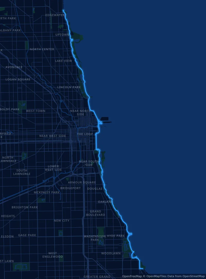
Lakefront Trail
Chicago’s front yard: a long, flat path between Lake Michigan and the skyline. Pick any stretch—north toward Lincoln Park or south toward Museum Campus—and turn around when your dog says so.
Pick your section. The stretches near downtown are the busiest; early mornings are calmer. Montrose and Belmont Harbor both have Dog Friendly Areas just off the trail for an off-leash break.
Uptown
Dog beach
02
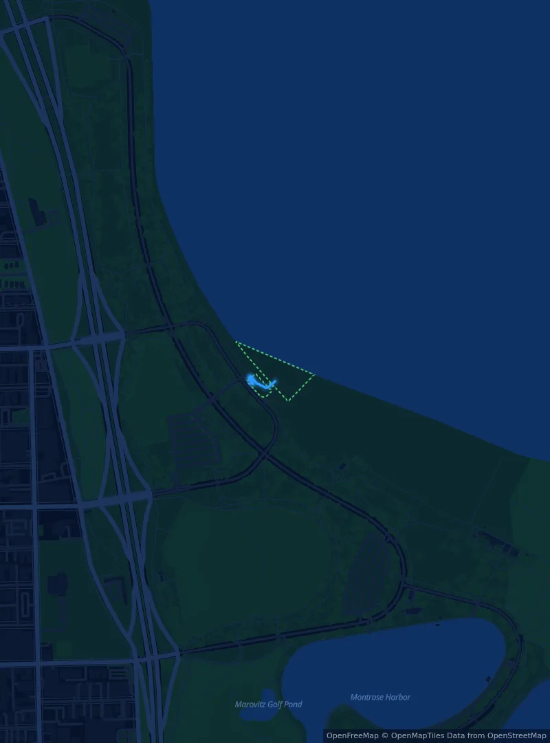
Montrose Dog Beach
The lakefront’s off-leash beach, a Dog Friendly Area at 601 W. Montrose Avenue. Sand, waves and a lot of very happy dogs—pair it with a loop of Montrose Point.
Bring the tag. Montrose is a DFA like any other: each dog needs a current Park District permit and tag. Leash up on the walk in and out, and rinse sand and lake water off afterwards.
Northwest Side
Rail-trail
03
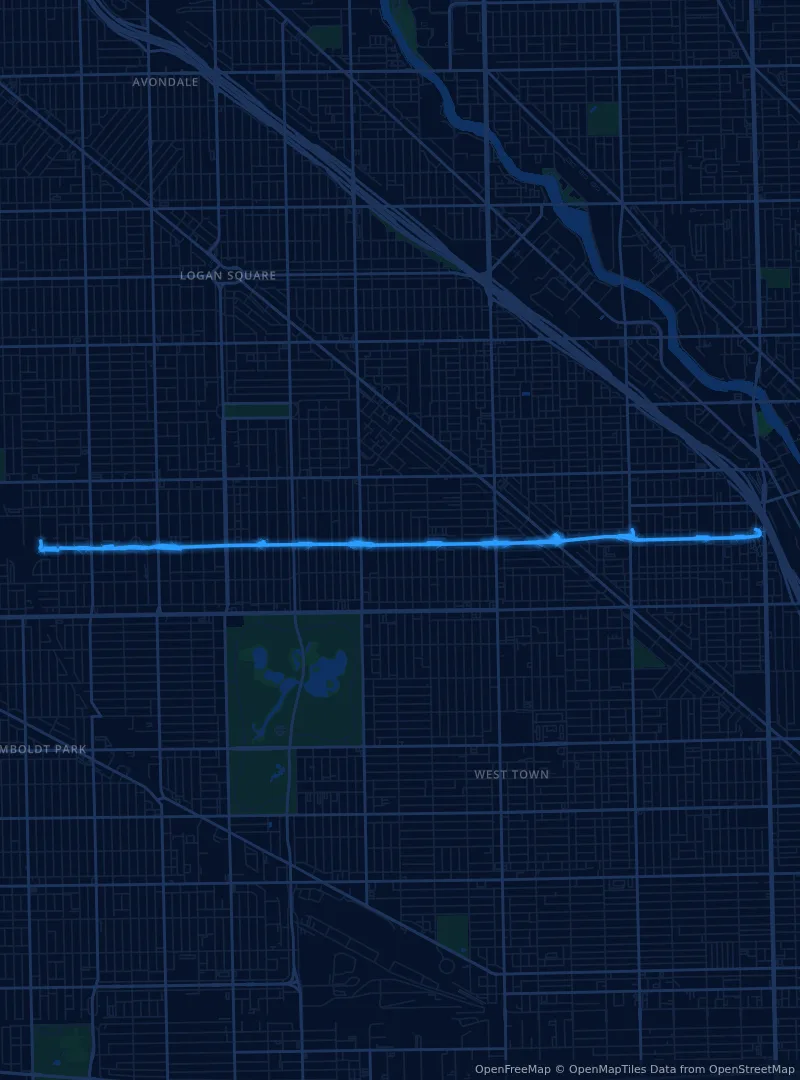
The 606 (Bloomingdale Trail)
A 2.7-mile elevated trail on a former rail line, running from Ashland to Ridgeway through Bucktown, Wicker Park, Logan Square and Humboldt Park. Flat, car-free and easy to dip in and out of.
Keep it short. The trail is narrow and shared with runners and bikes, and the Park District asks for short leashes. Churchill Field Park, at one of the access points, has a Dog Friendly Area.
Lakeview
Harbor loop
04
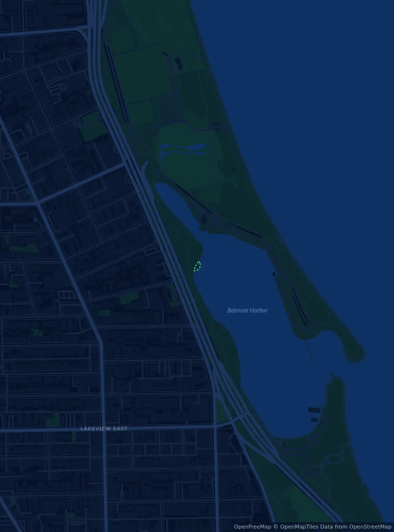
Belmont Harbor
Boats, skyline and a Dog Friendly Area at Belmont and Lake Shore Drive—an easy loop off the Lakefront Trail for dogs who want a run before the walk home.
Make a day of it. Walk north along the Lakefront Trail from Belmont Harbor to Montrose for a longer outing with an off-leash stop at each end.
Wicker Park
Neighborhood
05
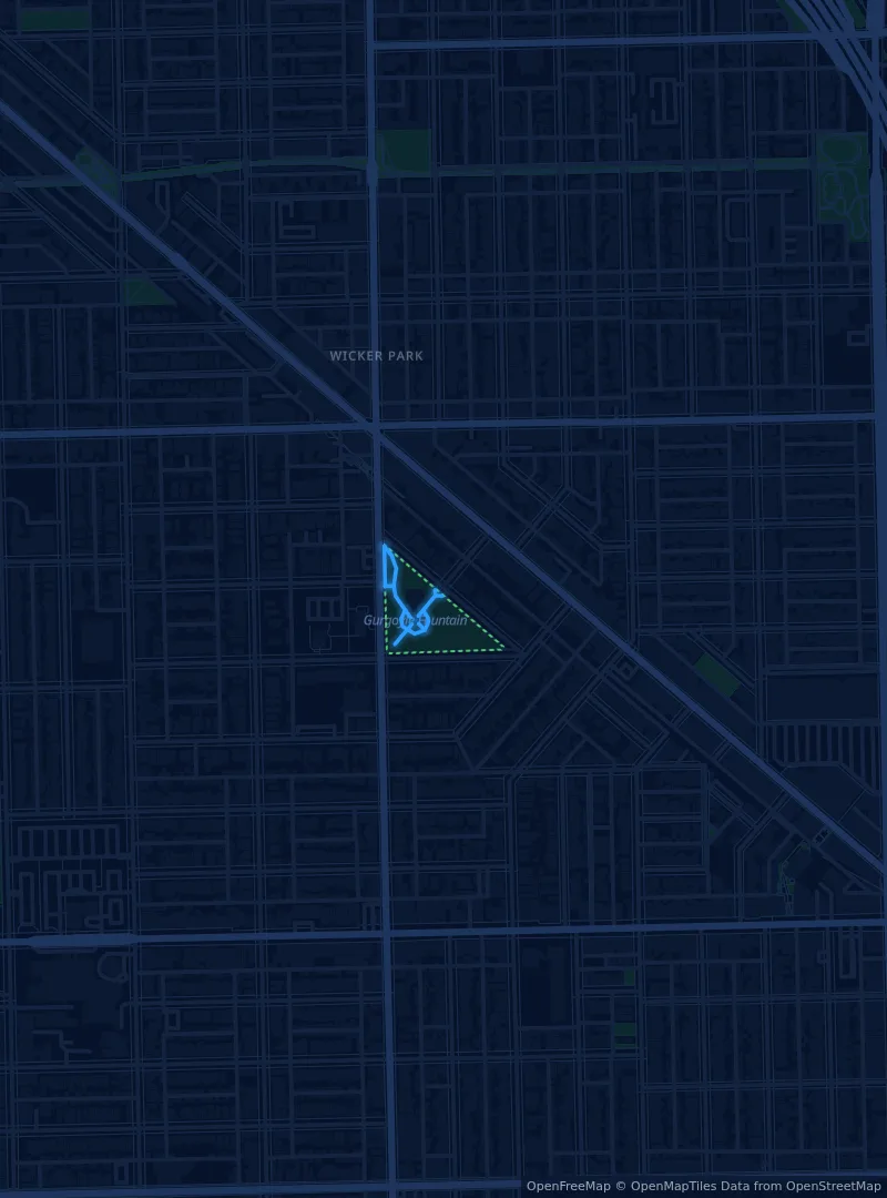
Wicker Park
A classic neighborhood park with a Dog Friendly Area at 1425 N. Damen Avenue, a few blocks south of The 606—good for a short loop, a sniff and a coffee on the way home.
Link it up. Walk a few blocks north to join The 606 and come back along the trail for an easy figure eight.
Plan with current information
Official Chicago resources
Rules, permits and closures can change after publication. These Chicago Park District pages are the final word before you head out. Maps: © OpenStreetMap contributors.